Flood zones and concrete on the Grand Strand
A quarter of Horry County is in the 100-year floodplain and the 2021 maps added ten thousand parcels to it. Flatwork is mostly fine; foundations, fill and anything near the marsh or the beach are where the zone takes over.
The maps
FEMA's new flood maps for Horry County took effect on December 16, 2021, after years of appeals: roughly 10,500 parcels — more than 12,300 addresses — moved into a mapped flood zone, while about 5,500 that had been proposed for a zone stayed out. The county's own planning documents put about a quarter of its land in the 100-year floodplain and 37 percent in wetlands. The zones that matter for concrete: AE, where water is expected to rise to a mapped base flood elevation (BFE) in a 100-year storm; VE, the coastal zone along the ocean and the inlets where wave action is expected on top of the water; and the X zones, which are outside the 100-year floodplain and carry no special rules. Most of the oceanfront, Cherry Grove's canals, the Murrells Inlet and Pawleys marsh edges, the Waterway frontage and the Waccamaw's banks at Conway are AE or VE.
The history that drew them
- Hugo — September 22, 1989Category 4 landfall near Charleston; storm surge about 13 feet at Garden City and Surfside Beach; Pawleys Island cut in two; 43 percent of Garden City's beachfront structures destroyed.
- Floyd — September 199914.80 inches of rain at Myrtle Beach on the 16th; the fourth-largest evacuation in US history.
- Matthew — October 8, 2016The Waccamaw at Conway crested at 17.87 feet, a record at the time; Springmaid Pier destroyed.
- Florence — September 201823.63 inches at Loris, the South Carolina record for a tropical system; the Waccamaw at Conway reached 21.16 feet on the 26th, more than three feet above Matthew.
- Isaias — August 3, 2020Landfall just up the coast at Ocean Isle Beach; 4.2 feet of surge at Myrtle Beach.
- Ian — September 30, 2022Landfall near Georgetown; water at Springmaid reached 10.77 feet above the lowest tide; sections of the Cherry Grove and Pawleys piers collapsed.
- Debby — August 202417 inches at Loris; the Waccamaw crested nearly two weeks later at 14.9 feet and stayed above flood stage through the end of the month.
What the zone does to flatwork
Not much, usually. A driveway, patio, walk, cart pad or pool deck at existing grade in an AE zone is allowed and permitted the same way as anywhere else. What changes is fill: raising a lot to build a slab higher is regulated, because fill displaces floodwater onto the neighbors. North Myrtle Beach requires stormwater approval for any single-family project that moves more than eight inches of soil and for altering existing drainage; Horry County's stormwater ordinance forbids obstructing a swale to another owner's detriment; and in the VE and critical-area zones along the marsh and the beach, fill is largely off the table and DHEC's coastal office has jurisdiction.
What it does to foundations
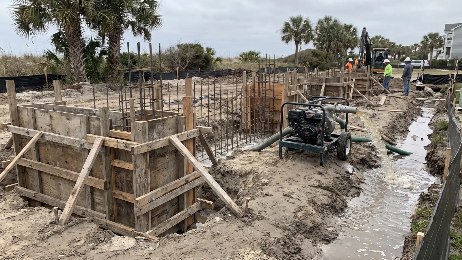
This is where the zone governs. In an AE zone the lowest floor of a new or substantially improved home has to sit above the BFE by the local freeboard: the City of Myrtle Beach requires new residential construction three feet above BFE, and a finished floor at least eighteen inches above the highest crown of any abutting street or twenty-four inches above the average lot grade; North Myrtle Beach requires the lowest floor twelve inches above BFE in AE and the lowest horizontal structural member twelve inches above in VE; the county has its own version. In practice that means a stem-wall foundation or piers instead of a slab at grade, flood vents in any enclosed space below the floor, and on the VE side a design that lets the lower enclosure break away. Myrtle Beach's floodplain program is rated CRS Class 5, which is why flood insurance there is discounted — and why the city enforces the rules.
What it does to the beachfront
South Carolina's Beachfront Management Act sets a baseline and a setback line along the ocean — the setback is forty times the long-term erosion rate — administered by DHEC's coastal office (now SC DES). Nothing goes seaward of the setback line without their permit, new erosion-control structures are prohibited, and Horry County's beach plan says plainly that a permit from both the coastal office and the county is needed to build anything along the oceanfront within the line. Tidelands, marsh and the beach-dune system are "critical areas" with their own permit. We don't pour in them.
How we work in a zone
We check the parcel on the FEMA map before any foundation or fill. Flatwork goes in at grade. Foundations are built from the engineer's drawing to the local freeboard, with vents. We don't add fill a jurisdiction hasn't approved, and we grade so water leaves the slab without arriving next door. And we keep the flood zone, the BFE and the permit on the estimate so the homeowner sees what governs the job.
Common questions
How do I find my flood zone?
FEMA's Flood Map Service Center by address, or the county's GIS; the cities' floodplain managers (North Myrtle Beach's is at 843-280-5622) will confirm it. Surfside's building application asks for it. We check it before we quote a foundation.
Can I raise my yard so it drains?
A few inches of regrading on a lot outside a flood zone, usually yes. In an AE or VE zone, or anywhere the fill changes where water goes, it needs approval — North Myrtle Beach draws the line at eight inches of soil moved. We'll tell you what your lot allows.
Does a patio need to be above BFE?
No — the elevation rule applies to living space, not flatwork. A patio or pool deck goes in at grade in an AE zone.
What's a flood vent?
An opening in an enclosed foundation wall below the BFE that lets floodwater in and out so the water pressure doesn't collapse the wall. Required in AE zones for enclosed space under a raised floor; sized by the floor area.
Related: Foundations & additions · North Myrtle Beach · Conway · Permit guide